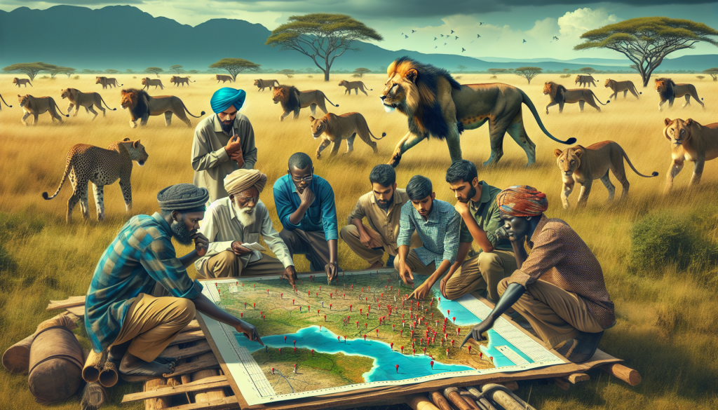
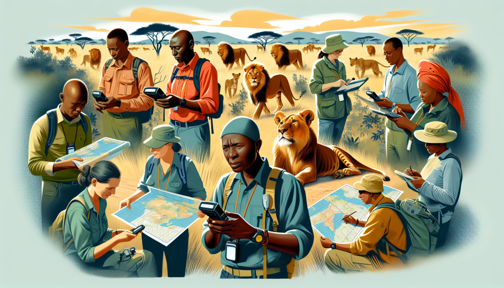
Imagine a world where locals are actively involved in protecting lion habitats, where community members become the heroes of conservation efforts, and where technology serves as a powerful tool for empowerment. This is exactly what the concept of community mapping aims to achieve. By putting the power into the hands of those living closest to these majestic animals, community mapping is revolutionizing the way we approach conservation. Through this innovative approach, locals are able to document lion sightings, monitor their behavior, and identify threats to their survival. With their intimate knowledge of the land and the animals, these community members are becoming the lifeline for the protection of lion habitats, ensuring a future where both humans and these incredible creatures can thrive side by side.
Understanding Lion Habitats
The importance of lion habitats
Lion habitats play a crucial role in the survival and well-being of these magnificent creatures. These habitats provide lions with adequate food sources, shelter, and breeding grounds. They are the natural environments where lions have evolved to thrive. By having access to suitable habitats, lions can maintain healthy populations and ensure their long-term survival. Additionally, lion habitats support a diverse range of species, creating a balanced and thriving ecosystem.
Threats to lion habitats
Lion habitats face numerous threats that put these majestic creatures at risk. One of the most significant threats is human encroachment. As human populations grow and expand, lion habitats are often converted into agricultural land or urban areas, resulting in habitat fragmentation and loss. This reduces the availability of prey and disrupts the natural movement patterns of lions. Another threat is poaching and illegal wildlife trade, which not only directly affects lion populations but also has a detrimental impact on the ecosystems they inhabit. Climate change and depletion of natural resources further exacerbate the challenges faced by lion habitats.
Benefits of conserving lion habitats
Conserving lion habitats is not only essential for the survival of these magnificent animals but also brings several benefits. First and foremost, when lion habitats are protected, it ensures the preservation of a unique and iconic species that holds great cultural and ecological significance. Conserving lion habitats also helps protect the delicate balance of ecosystems, as lions are top predators that regulate prey populations. Moreover, lion habitats contribute to biodiversity conservation by providing a home for various plant and animal species. Additionally, lion tourism can generate significant revenue for local communities, contributing to sustainable development.
Introduction to Community Mapping
Definition and purpose
Community mapping is a participatory approach that empowers local communities to actively contribute to conservation efforts by mapping the natural resources and ecological features of their surroundings. It involves gathering and documenting spatial data using a combination of traditional knowledge and modern technologies. The purpose of community mapping is to engage local communities in the process of conservation, allowing them to take ownership of their natural resources and make informed decisions regarding sustainable land use.
How community mapping works
Community mapping typically begins with the identification of key stakeholders, including local community members, conservation organizations, and government agencies. These stakeholders work collaboratively to define the scope and objectives of the mapping project. Next, data collection techniques, such as GPS technology and remote sensing, are employed to gather information about lion habitats. Local communities actively participate by providing their traditional ecological knowledge and assisting in data collection. The collected data is then analyzed and used to inform conservation strategies and land-use planning.
Benefits of involving locals
Involving local communities in community mapping has several advantages. Firstly, it allows for the integration of traditional ecological knowledge, which is often invaluable in understanding local ecosystems and the behavior of lions. Local communities have a deep connection to the land and have acquired knowledge passed down through generations. By involving locals, community mapping also promotes a sense of ownership and responsibility among community members, leading to increased commitment and support for conservation initiatives. Additionally, involving locals ensures that conservation strategies are culturally appropriate and align with the needs and aspirations of the community.

Role of Technology in Community Mapping
Data collection tools and techniques
Technology plays a crucial role in community mapping by providing tools and techniques for efficient data collection. One of the primary tools used is the Global Positioning System (GPS), which enables accurate positioning of geographic features. GPS devices allow community members to record the location of lion sightings, prey distribution, and other ecological data. Additionally, camera traps and acoustic monitoring devices can be utilized to supplement the data collection process. These technological advancements simplify data collection and contribute to the overall accuracy and reliability of community mapping efforts.
GIS (Geographic Information System) applications
Geographic Information System (GIS) applications are essential in analyzing and visualizing the collected spatial data. GIS allows for the integration of various layers of information, such as lion sightings, vegetation cover, and land use, into a single platform. By overlaying these layers, patterns and relationships can be identified, enabling more informed decision-making. GIS applications also facilitate the creation of maps and other visualizations that communicate the results of community mapping to a broader audience, including policymakers and the general public.
Remote sensing technologies
Remote sensing technologies, such as satellite imagery and aerial photography, provide valuable data for community mapping. These technologies allow for the monitoring and assessment of large areas, including inaccessible or remote regions. Satellite imagery can be used to identify changes in land cover, vegetation density, and other important habitat features. Coupled with ground-based data collection, remote sensing technologies provide a comprehensive understanding of lion habitats and support evidence-based conservation planning.
Working with Local Communities
Engaging locals in habitat conservation
Engaging local communities in habitat conservation is crucial for the success and sustainability of community mapping efforts. To promote active participation, it is essential to involve community members from the early stages of planning and decision-making. This involves creating platforms for open dialogue, where local knowledge and perspectives are valued and respected. Building trust and fostering partnerships with local communities are key to ensuring their meaningful engagement in conservation initiatives.
Developing partnerships with community organizations
Collaborating with community organizations is an effective way to enhance the impact of community mapping projects. Local NGOs, community-based organizations, and indigenous groups often have a deep understanding of the local context and the specific challenges faced by communities. Working together not only strengthens the collective knowledge base but also increases the capacity of local communities to undertake conservation actions. Community organizations can play a vital role in facilitating communication, providing training, and advocating for the needs and rights of the community during the mapping process.
Capacity building and training programs
Capacity building and training programs are essential components of community mapping projects. These programs aim to equip local community members with the necessary skills and knowledge to actively participate in data collection, analysis, interpretation, and decision-making. Training sessions can cover various topics, including GPS handling, data management, wildlife monitoring techniques, and GIS applications. By empowering local communities with technical skills, they become more self-reliant in mapping and conservation efforts, ensuring the long-term sustainability of the initiatives.

Step-by-Step Guide to Community Mapping
Identifying key stakeholders
The first step in community mapping is identifying key stakeholders who will play an active role in the process. These stakeholders typically include local community members, conservation organizations, government agencies, and relevant experts. Engaging these stakeholders from the beginning ensures a collaborative and inclusive approach, where diverse perspectives are considered.
Defining the scope and objectives
Once the key stakeholders are identified, it is important to define the scope and objectives of the community mapping project. This involves clearly outlining the specific areas to be mapped, the data to be collected, and the goals to be achieved. Setting clear objectives helps guide the entire process and ensures that the mapping effort is focused and purposeful.
Gathering baseline data on lion habitats
Before initiating the mapping process, it is crucial to gather baseline data on lion habitats. This includes information on lion populations, habitat quality, vegetation cover, prey distribution, and any available historical data. Baseline data provides a starting point for monitoring changes over time and helps establish a benchmark for conservation efforts.
Methods and Techniques for Mapping Lion Habitats
Using GPS technology for accurate positioning
GPS technology is a valuable tool for accurate positioning during data collection. By using GPS devices, community members can record the location of important features such as lion sightings, prey hotspots, and habitat boundaries. This precise geolocation data contributes to the accuracy and reliability of the entire mapping process.
Mapping vegetation and prey distribution
Mapping vegetation cover and prey distribution is crucial for understanding lion habitats. This can be achieved through ground-based surveys, aerial photography, or satellite imagery. Community members can collect data on vegetation types, density, and health by conducting transects or quadrat sampling. Similarly, camera traps and acoustic monitoring devices can be deployed to capture information on prey populations and their movements.
Assessing landscape connectivity
Assessing landscape connectivity is essential in determining the suitability of lion habitats. By identifying corridors and connectivity patterns, it becomes possible to understand how lions disperse, find mates, and access resources. This information aids in designing conservation strategies that prioritize maintaining or restoring landscape connectivity, ensuring the long-term viability of lion populations.

Data Analysis and Interpretation
Importance of data accuracy and reliability
Data accuracy and reliability are critical for effective analysis and interpretation. To ensure data quality, rigorous data validation processes should be in place, which involve cross-checking and verification of collected information. This includes comparing ground truthing data with remote sensing data and conducting systematic analyses to identify any discrepancies or errors.
Spatial analysis techniques
Spatial analysis techniques enable the extraction of meaningful information from the collected spatial data. GIS software can be used to perform various analyses, such as density estimation, hotspot identification, and habitat suitability modeling. Spatial analysis techniques help identify patterns, trends, and spatial relationships, guiding conservation planning and decision-making.
Identifying critical habitats and migration routes
With the help of community mapping data, it becomes possible to identify critical habitats and migration routes. By analyzing lion sightings, prey distribution, and landscape connectivity, areas of high importance for lion conservation can be pinpointed. This information is invaluable in designing targeted conservation interventions that prioritize the protection of crucial habitats and the facilitation of unhindered movement for lion populations.
Informing Conservation Strategies
Using community mapping data for decision-making
Community mapping data provides valuable insights that inform decision-making in conservation strategies. The collected data can be shared with policymakers, conservation organizations, and local communities to raise awareness and garner support for conservation initiatives. By incorporating community mapping data into decision-making processes, policymakers can make more informed and evidence-based choices that prioritize the preservation of lion habitats.
Tailoring conservation interventions based on local knowledge
Community mapping allows for the integration of local knowledge into conservation interventions. By actively involving local communities, their traditional ecological knowledge is recognized and valued. This knowledge, combined with scientific data, provides a holistic understanding of lion habitats and helps tailor conservation interventions to the specific needs and aspirations of the community. Local communities are more likely to support and actively participate in conservation efforts that are designed with their input, ensuring the sustainability of these initiatives.
Designing sustainable land-use plans
Community mapping contributes to the development of sustainable land-use plans that balance conservation priorities with the livelihood needs of local communities. The data obtained through community mapping helps identify suitable areas for conservation, as well as areas where sustainable resource use and development can occur. By designing land-use plans that incorporate the input and concerns of local communities, it becomes possible to achieve a harmonious coexistence between human activities and lion habitats.

Challenges and Solutions
Limited technical expertise in local communities
One of the primary challenges in community mapping is the limited technical expertise within local communities. Many community members may be unfamiliar with GPS devices, GIS software, and other data collection tools. To address this challenge, capacity building and training programs should be implemented to provide community members with the necessary skills and knowledge. Training sessions can be conducted in collaboration with experts and organizations that specialize in community mapping, ensuring that community members are equipped with the expertise required for effective data collection and analysis.
Overcoming barriers to participation
Barriers to participation, such as language barriers, cultural differences, and lack of awareness, can hinder the involvement of local communities in community mapping projects. Solutions to these barriers involve creating a culturally sensitive and inclusive environment that respects and values local knowledge and traditions. Providing translations and interpreters, organizing community meetings and workshops, and conducting outreach campaigns can help overcome these barriers and encourage active participation.
Addressing conflicts between conservation and livelihoods
Conservation efforts often face conflicts between the goals of preserving lion habitats and the livelihood needs of local communities. For example, restrictions on resource use and land access can directly affect the economic well-being of communities that rely on these resources. Addressing these conflicts requires a holistic approach that recognizes the interdependence of conservation and livelihoods. By actively involving local communities in decision-making processes, the concerns and aspirations of community members can be taken into account, resulting in conservation strategies that are both effective and beneficial for local livelihoods.
Future Directions and Recommendations
Scaling up community mapping efforts
As the benefits of community mapping become increasingly evident, scaling up these efforts becomes crucial. This involves expanding the geographical coverage of community mapping projects to include more lion habitats and engaging additional local communities. Scaling up can be achieved through partnerships with governmental and non-governmental organizations that have a vested interest in lion conservation. By extending community mapping efforts, a more comprehensive understanding of lion habitats can be obtained, leading to more effective conservation strategies.
Integrating traditional ecological knowledge with scientific data
The integration of traditional ecological knowledge with scientific data is essential for comprehensive conservation planning. This integration acknowledges the wisdom and expertise that local communities possess regarding their surrounding ecosystems. By incorporating traditional ecological knowledge into scientific research and data collection methodologies, a more holistic understanding of lion habitats can be achieved. This integration also helps bridge the gap between indigenous wisdom and Western science, promoting mutual respect and collaboration.
Promoting policy changes and legislative support
To ensure the long-term success of community mapping efforts, it is essential to promote policy changes and legislative support that prioritize the conservation of lion habitats. Advocacy campaigns can be conducted to raise awareness among policymakers and decision-makers about the value of community mapping and the need for strong legal frameworks that protect lion habitats. By influencing policy and legislation, community mapping initiatives can create an enabling environment that supports and sustains the efforts of local communities in conserving lion habitats.
In conclusion, community mapping serves as a powerful tool for empowering local communities to actively contribute to the conservation of lion habitats. By involving locals in the mapping process, integrating traditional ecological knowledge with scientific data, and utilizing technology, community mapping creates a synergistic approach to lion habitat conservation. Through this collaborative effort, we can ensure the long-term survival of lions, the preservation of biodiversity, and the well-being of local communities.


